Features MCG
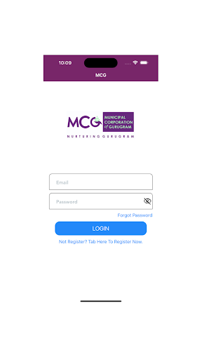
MCG is a no-code intelligent platform for geospatial data that support vector and raster data such as drone and satellite imagery, kml file, Dxf file.It is designed for geo-spatial data management, site management & progress monitoring, property survey & field data capture.Build an app in 4 simple ways: 1.
registered your self in MCG (https://oab.heliware.co.in/).2.
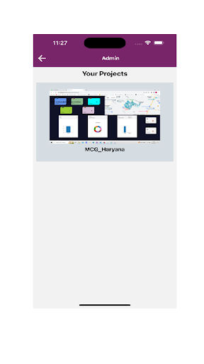
Upload your geo-spatial data on Heli GIS | Heli Progress Monitoring dashboard.3.
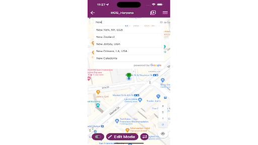
Share your app with all the users with the view and edit permission.4.Download app from play store and login.
Social Features
Connect and share with friends and the community.
Gaming Features
Enjoy immersive gaming experience with various game modes.
Shopping Features
Shop online and find the best deals.
See the MCG in Action
Get the App Today
Available for Android 8.0 and above